
Walk a Polk County Street
A Polk County street directory works best as a chain of official records, not as a single list of everyone at an address. The Assessor identifies the owner of record and the parcel tied to a situs, meaning the physical site address. Polk GIS places that parcel beside the next lots. The Recorder then supplies the deed trail, while voter and historical directory sources may add evidence of residence. Ownership and residence are different facts, so keep each source's date and purpose beside every name.
Begin with the full street number and directional marker. A small detail such as East, West, unit, or quadrant can move the search to a different parcel. Then follow this street-by-street sequence:
- Enter the address in the Polk County Assessor search. Copy the owner heading, situs address, mailing address, parcel or geoparcel number, and legal description.
- Open the official GIS viewer. Search the address or parcel, then click nearby parcel shapes to understand the street, lot lines, and jurisdiction.
- If a specific person is known, test the Iowa voter lookup with that name and ZIP. It confirms one registration; it does not produce a block roster.
- Use the current owner, legal description, or book and page in the Recorder's Record Room. Follow the seller named in each deed to move backward.
- For earlier occupants, use Des Moines Public Library's street guides and reverse sections. Verify a directory entry against the printed scan, not OCR alone.
This street directory order keeps false matches down. The parcel number connects the map and tax card, while the legal description links the same land to deeds even when the street name or number changes.
Search Polk County by Address
The Polk County Assessor Simple General Search accepts a partial street address, jurisdiction, parcel or geoparcel, and owner name. Its address box must not include city, state, or ZIP. Short input can be useful, but broad searches can return thousands of parcels. Jurisdiction choices separate Des Moines districts from county cities and townships.
| Assessor field | Format | Practical use |
|---|---|---|
| Address | Number, street, unit, range, % or _ wildcard | Find one site or browse a street |
| Jurisdiction | City, Des Moines district, or township | Separate the same street name across Polk County |
| Parcel / geoparcel | Exact ID or supported range | Return to the same land without relying on a name |
| Owner | Last and first name | Confirm an owner after finding the parcel |
The detailed General Search adds plat, radius, school district, values, class, transfer book and page, and section-township-range fields. Its own advice is useful: fill at least one box, and use less input first.
- Parcel
- A mapped unit of land with a county identifier.
- Situs address
- The physical location of the parcel, which may differ from the tax mailing address.
- Plat
- A recorded map that divides land into lots, blocks, streets, or subdivisions.
- Criss-cross directory
- A directory arranged by street and house number rather than only by surname.
Polk Street and Mailing Clues
A parcel card can show an owner heading, mailing address, property address, legal description, value, zoning, school district, tax authority, transfer reference, neighborhood, and photographs. These fields answer different questions. The situs address locates the land. The mailing address tells where tax correspondence goes and may point to an accountant, business, relative, or another county.
A homestead flag can support an owner-occupancy theory, but it does not identify every person in the home or prove current presence. Likewise, a current transfer date on the Assessor card is not always the deed's instrument or recording date. Compare the card with the Recorder result before attaching a person to an address.
Note: Record the card's access date because the Assessor site is moving to a new platform during 2026.
Map Polk County Street Parcels
The Polk County GIS viewer searches an address, geoparcel, or subdivision. It can display parcel boundaries, street labels, flood and wetland layers, zoning and land use, contours, current aerials, and historic imagery reaching back to 1930 in some layers. Search suggestions are capped, so a parcel ID from the Assessor is often more reliable than a broad street name.
Use point or box identification to inspect adjoining lots, then open each Assessor card. Pictometry tools can help distinguish a corner lot, alley, shared drive, parcel split, or outbuilding. Measurements describe geography only. They do not prove that two nearby owners are related or that the named owner occupies the property.
Geography check. A Des Moines mailing city, postal ZIP, school district, neighborhood, and municipal boundary can describe different areas. Confirm jurisdiction on the parcel record.
Des Moines Street Permit Evidence
Within Des Moines, address evidence extends beyond tax records. The Permit and Development Center routes current projects to Customer Self Service and older material to archive research. Permit entries may name a project, applicant, contractor, documents, and inspection events, but none of those labels automatically identifies a resident.
The city's live Customer Self Service permit search shows the public search surface used for applications and inspections.
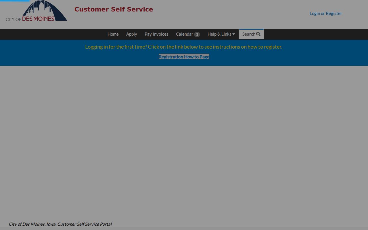
The portal image marks the current online route. When an old permit is absent, ask Development Services or file a focused Chapter 22 request that gives the exact address, date range, and record type.
The Show Me My House address map adds ward, neighborhood, zoning, school, and inspection or operations layers.
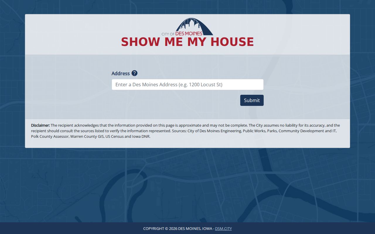
Those map layers give civic context for an address, not a list of household members.
Trace Polk Streets Through Deeds
The Polk Record Room is the online deed-index route for 1992 to the present. Expanded Search supports two names, party roles, And/Or logic, quoted phrases, wildcards, dates, property terms, and separate name and property directories. Start with the parcel card's transfer book and page or legal description when a common owner name creates too many matches.
Read the instrument date, recorded date, document kind, both indexed parties, legal remark, file number, book and page, amount, and image indicator. The seller on the current purchase deed is usually the prior owner. Repeat the search with that seller as an earlier buyer, keeping the lot, block, subdivision, or section-township-range description fixed.
For pre-1992 documents, the Polk County Recorder search page directs researchers to Imaging and Microfilm at 515-286-3175, the recorder counter, old books, and archival holdings. A blank online result at the cutoff is a cue to change access channels, not proof that the deed never existed.
Old Polk County Address Systems
Early Polk County records do not always speak in modern street addresses. Fort Des Moines, town lots, subdivision lots, and section-township-range descriptions appear across the record trail. The State Historical Society inventory begins land and town-lot series in the 1840s, while later records shift toward numbered streets, quadrants, parcels, and modern postal labels.
No verified countywide street-renumbering conversion table was found. For a stubborn old address, compare the legal description with the University of Iowa's Polk atlases for 1872, 1885, and 1895, Recorder plats, and GIS historic imagery. This geography bridge is stronger than guessing that an old number maps straight to a modern door.
Polk County Street Record Sources
Each address-keyed source has a narrow role. A sound Polk County street directory preserves those limits while combining the records around a parcel.
| Record Set | Keeper | What It Shows | Access |
|---|---|---|---|
| Assessor card | Polk County Assessor | Owner, situs and mailing address, parcel, zoning, transfer link | Free web search |
| GIS parcel map | Polk GIS / Auditor | Lot geometry, nearby parcels, layers, historic imagery | Free viewer |
| Deed index | Polk County Recorder | Parties, dates, deed kind, legal description, book/page | Online 1992-present; counter and microfilm earlier |
| Voter records | Iowa Secretary of State | One known person's registration through name and ZIP | Free narrow lookup; regulated list request |
| Permits | Des Moines Development Services | Projects, applicants, documents, inspections | Dynamic portal or archive request |
The Treasurer also searches by PIDN, parcel number, mailing name, or location. Its tax and payment data should be treated as a separate snapshot. A city permit, county deed, and tax mailing address may each carry a different date and person for the same land.
Polk Street Residents Beyond Ownership
The public Iowa voter registration lookup asks for first name, last name, and ZIP. It is useful only after a likely person is known. The wider voter file is a paid, certified-purpose product governed by Iowa law, and protected voters may have an address withheld or substituted. Ballot choices are never shown.
Historical address-first work belongs to Des Moines Public Library's criss-cross and street guides. Digitized directories span listed years from 1866 through 1922, microfilm continues through 1935, and print directories begin in 1910. The Polk County city directory collection explains those runs and how to read their abbreviations without turning an old entry into a current claim.
The Des Moines cemetery search is another dated source when a street trail ends with a death.
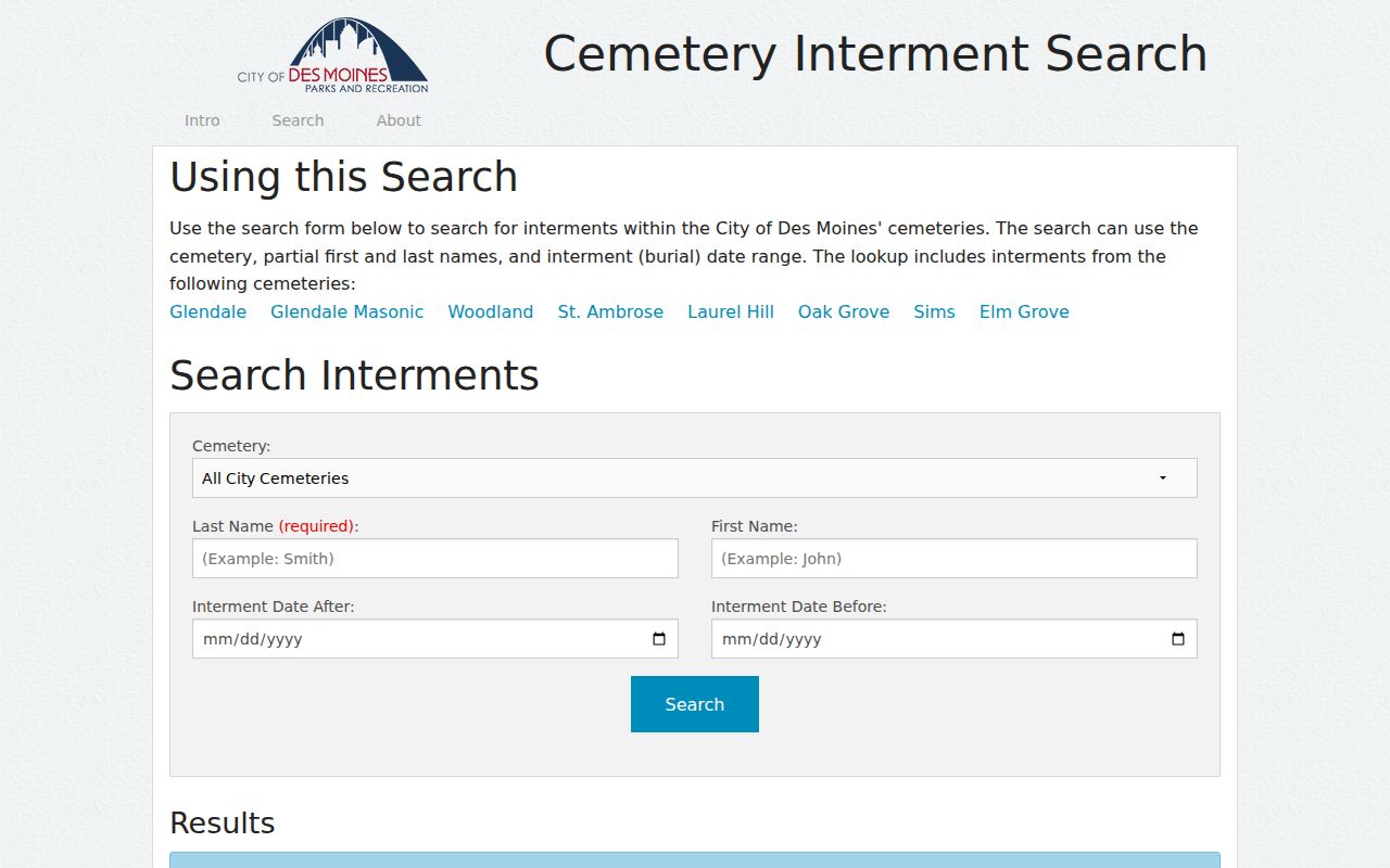
A cemetery result can connect dates and burial context, but it should be matched with an obituary, directory entry, or vital-record route.
Polk Street Archive Fallbacks
The Des Moines Permit and Development Center explains the current and archive channels for address files.
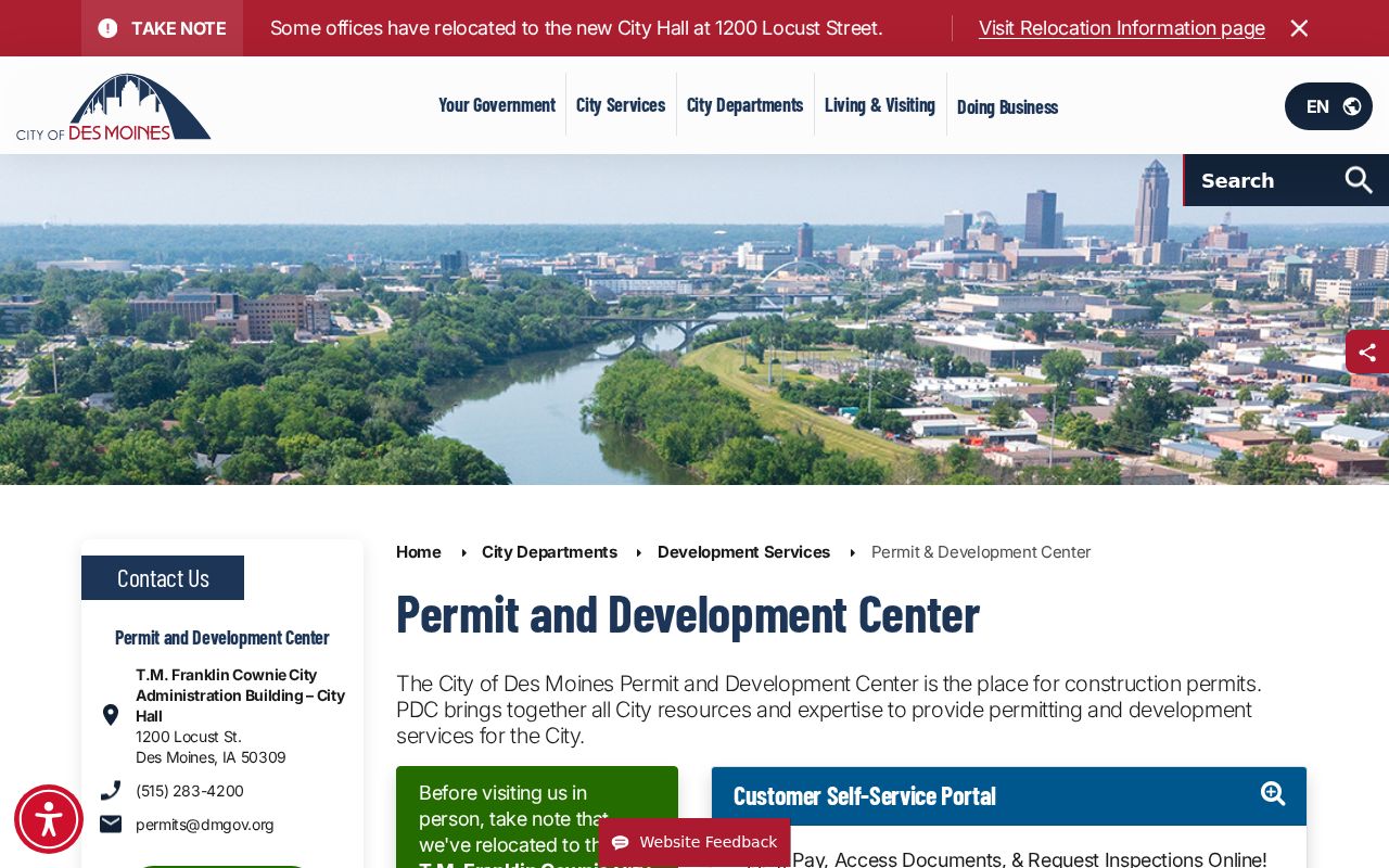
This office route matters when a project predates the online permit system or its documents are not exposed. Give staff one street address, an estimated period, and the specific permit or inspection type. For county records, Polk Central Services is the Chapter 22 records-management route, while the Recorder and Assessor remain custodians of their own series.
Note: A precise request is faster to review than a demand for every record associated with a whole street.
Limits of Polk Street Directories
A Polk County street directory cannot supply a complete, current household roster. Assessor and deed records center on ownership. A mailing address is not occupancy. Permit applicants may be contractors or agents. Voter lookup requires a known name and ZIP, and confidentiality programs can suppress location details. Utility customer files, driver addresses, sealed cases, juvenile records, victim data, and unposted association membership are not public substitutes.
Dates matter just as much as access. The GIS viewer is scheduled for evaluation or replacement at the end of 2026, the Assessor is in a 2026 platform transition, and the Recorder launched a new Record Room. Save the URL, access date, parcel number, and layer or record date with each finding.
Lawful use. Use Polk County address records only for lawful personal research, such as family or property history. Never use a street search to stalk, harass, intimidate, or harm anyone.