
Polk ZIP Codes by Area
The official Iowa Department of Public Safety table supplies postal city, county, ZIP, and type rows. USPS validates a specific address. Together they form the base for the Polk County ZIP code directory. Standard codes serve ordinary delivery areas. P.O. Box codes are box-oriented. Unique codes belong to a single organization or special use and must not be treated as residential neighborhoods. The table below groups the chief Polk-area labels while preserving boundary warnings.
| ZIP Code | Areas Covered | Post Office | Notes |
|---|---|---|---|
| 50007, 50009 | Alleman and Altoona postal areas | Standard delivery | Check parcel jurisdiction |
| 50021, 50023 | Ankeny postal area | Standard delivery | Two main Ankeny codes |
| 50035, 50073 | Bondurant and Elkhart labels | Standard delivery | Polk-area labels |
| 50111, 50131 | Grimes and Johnston labels | Standard delivery | City lines need a parcel check |
| 50169, 50226, 50237 | Mitchellville, Polk City, Runnells | Standard delivery | Polk-area labels |
| 50265, 50266 | West Des Moines postal area | Standard delivery | City and county lines differ |
| 50309-50317 | Des Moines urban delivery | Standard delivery | Boundaries are postal |
| 50320-50325, 50327 | Des Moines, Urbandale, Windsor Heights, Clive, Pleasant Hill | Standard delivery | Verify civic jurisdiction |
| 50301-50306, 50318, 50333, 50336 | Des Moines box-oriented codes | P.O. Box | Not neighborhood footprints |
| 50328-50332 and other unique rows | Des Moines special-use assignments | Unique | Do not infer household geography |
Boundary candidates include Cambridge, Carlisle, Granger, Huxley, Madrid, Maxwell, Mingo, Slater, and Boone postal rows. The official source did not provide a parcel-level intersection table proving that every address in each code lies in Polk County. Validate the address through USPS, then confirm its county and municipal jurisdiction in the parcel system.
Polk Standard and Special ZIPs
The Des Moines label covers normal delivery codes, P.O. Box codes, and many Unique codes. A name linked to 50328, 50329, 50330, or another Unique entry does not establish a neighborhood. Box-oriented 50301 through 50306 identifies a mail service pattern rather than a residential boundary. The same caution applies to Berwick's 50032 P.O. Box row.
The Iowa table also contains 509-series Des Moines Unique entries described as non-geographic or special-use. They belong in a complete Polk County ZIP code directory because they can appear in records, yet they should stay out of neighborhood comparisons. Read the type column before drawing a geographic conclusion.
Postal type matters. Standard, P.O. Box, and Unique ZIPs answer different delivery questions. Only a parcel or civic map can establish local jurisdiction.
Validate Polk Addresses With USPS
The USPS ZIP Code Lookup offers three modes: a complete address search, city and state to ZIP, and cities by ZIP. The address form accepts company, street, apartment or suite, city, state, and ZIP. Use the full address when the goal is to confirm a deliverable postal match. USPS warns that a ZIP result does not confirm a person or business at that address.
Copy the standardized street form exactly, including direction and unit, before moving to Polk property records. That reduces false misses caused by an informal street suffix or misplaced directional. For a name search, the Iowa voter form uses ZIP as one part of a match. It does not turn the code into a list of everyone within it.
Polk Property Search Starts Elsewhere
The Polk County Assessor Simple Search starts with street or address, jurisdiction, parcel or geoparcel, owner, and district. It does not expose a ZIP input. General Search can return Address Zipcode and Mailing Zipcode and offers radius and geographic criteria, but research did not locate a one-click countywide ZIP filter.
| Polk field | Search or output | Meaning |
|---|---|---|
| Address and street | Search | Finds the situs location as stored |
| Jurisdiction | Search | Limits results to a city or township |
| Parcel or geoparcel | Search | Targets county land identifiers |
| Owner | Search | Finds owner of record, not all occupants |
| Address Zipcode | Output | Postal code tied to the property address |
| Mailing Zipcode | Output | Postal code used for correspondence |
This mismatch is useful. It forces a Polk ZIP code lookup back to a real parcel or name instead of treating an entire postal area as a resident list. The Assessor announced a property-system transition for 2026, so retain the official landing route if form URLs change.
Map Polk Property and Mail ZIPs
The official Polk County GIS viewer searches address, geoparcel, subdivision, and parcel. Its parcel layer contains separate PROP_ZIP and MAIL_ZIP fields. The first is tied to the property location; the second belongs to owner correspondence. A remote owner's mailing ZIP can differ widely from the parcel's postal code.
A ZIP-wide export may be possible through a current layer query, but the visible map does not promise a simple ZIP report. Use it to inspect one verified parcel and nearby civic layers. For a full named-street chain, continue with the Polk County street directory.
Note: PROP_ZIP and MAIL_ZIP are separate evidence fields, and neither proves that the owner occupies the parcel.
Find Polk Residents by ZIP
A resident lookup within one code is a sequence, not a bulk ZIP roster. Begin by validating the postal detail. Then use the official system that accepts the other known fact. The Assessor needs an address, owner, or parcel. The voter form needs a name and ZIP. GIS needs an address or land identifier.
- Validate a complete address with USPS, or confirm the city and ZIP combination. Record the standardized form.
- Search the Assessor by address or owner. Compare property and mailing postal codes on the parcel card.
- Open GIS with the parcel or geoparcel number. Check city, county, school, and nearby boundaries rather than relying on postal city.
- For registration, use the Iowa voter lookup with first name, last name, and ZIP. Treat a non-match as inconclusive until spelling and move history are checked.
The process keeps postal evidence in its proper role. A ZIP narrows mail geography. County systems then answer ownership, parcel, jurisdiction, or registration questions. No single result establishes every current resident at an address.
Polk Geography Before ZIP Codes
Older Polk County records do not use modern ZIP codes. Early deeds may describe Fort Des Moines, a township, section and range, town lots, subdivisions, or later numbered streets. County boundary changes from the 1840s and 1850s can also place an old description outside a reader's present mental map. A ZIP search cannot bridge that gap by itself.
The University of Iowa county-atlas holdings include Polk atlases from 1872, 1885, and 1895. These maps connect landowners and old road or lot geography to later parcel work.
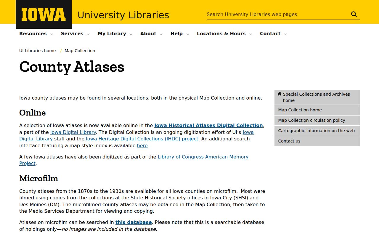
The atlas collection helps when a historical record names land rather than a street address. Modern GIS can then carry the search forward to today's parcel and postal fields.
Des Moines ZIPs Cross Civic Maps
Des Moines neighborhood boundaries are planning and civic geography. They do not equal postal routes or parcel ownership. The city's neighborhood finder provides named boundary context, while Polk Assessor and GIS identify the parcel and jurisdiction. West Des Moines, Urbandale, Clive, Windsor Heights, Pleasant Hill, Johnston, and Altoona labels deserve the same check.
The neighborhood finder shows why a postal label needs another map.
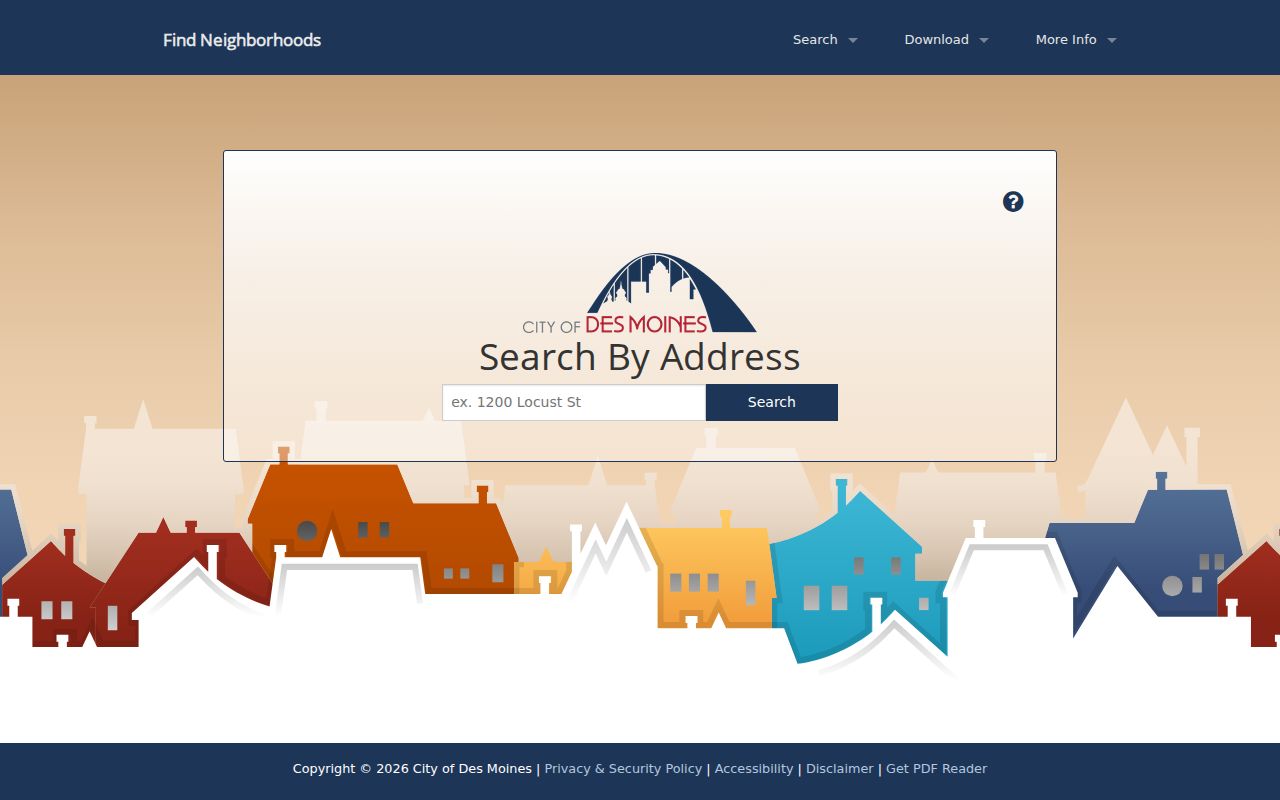
A neighborhood name may help orientation, but it is not proof of municipal limits, county tax jurisdiction, a school district, or household membership.
Polk ZIPs Versus City Limits
A postal city is chosen for mail service. It is not a municipal-boundary ruling. A West Des Moines or Urbandale ZIP may cross a county or city line, while a parcel's school district and civic neighborhood may follow other boundaries. The 1909 Des Moines directory even canvassed adjacent territory beyond corporate limits, an older version of the same scope problem. Date each lookup and verify the parcel before stating that an address lies in Polk County or a named city.
When a result shows a Des Moines mailing city, compare the Assessor's jurisdiction, situs city, school district, and parcel map. For a voter question, use the precinct or election source rather than the postal label. For a deed, follow the legal description. USPS remains the authority for the mailing form, but it does not decide who owns the land or which local government serves it.
- ZIP vs ZIP+4
- A five-digit ZIP identifies a postal area. ZIP+4 narrows delivery to a block, building, or box group.
- PO-box ZIP
- A code used mainly for post office boxes, not a neighborhood outline.
- Unique ZIP
- A special code assigned to one organization or use rather than ordinary household delivery.
- Carrier route
- The delivery path followed by a postal carrier. It can cross civic boundaries.
No official source identified a verified Polk ZIP split or realignment year. Use the current DPS table and USPS result rather than repeating an unsourced history claim.